Cold Monday after southeastern Kentucky received snow overnight
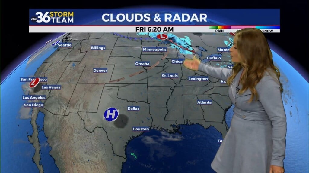
Southeastern Kentucky saw their first snow of the year as wintry weather moved through overnight. Snow accumulations were light for much of our viewing area thanks to the ground being so warm after the heavy rain and warm temperatures late week. Still stay alert for slick spots during the morning, especially towards the south and the east where we did see the snow. Skies will be clearing as you head throughout your day but the sunshine will be fools gold. Temperatures will only reach the low-to-mid 30s, but thanks to breezy northerly winds it will feel even colder than that. For tonight, skies will be clear allowing for temperatures to drop into the low 20s. Any areas that have any snow left on the ground will likely get even colder than that, possibly into the teens.
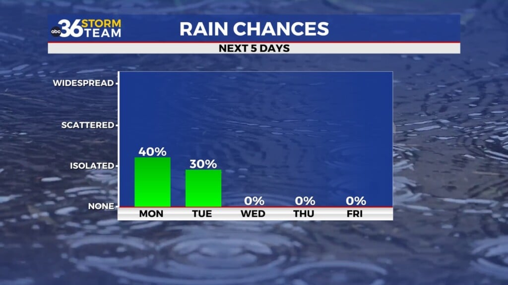
Calm conditions are expected Tuesday and Wednesday but that is ahead of next system on the way Thursday. Wintry weather is appearing likely with this storm system, though it is too early to talk snow totals. Temperatures will be cold enough to support snow that Thursday but some models lack the moisture needed for accumulating snow. This will be something we will be monitoring closely over the next few days. Bitter cold temperatures are expected late Thursday into Friday, regardless of if accumulating snow takes place. Highs on Friday will struggle to reach the mid-to-upper 20s.
Stay with the ABC 36 storm team for more updates. – Meteorologist Dillon Guadet
MONDAY – Skies turning sunny, but staying cold. Highs in the mid 30s.
MONDAY NIGHT – Mostly clear and cold. Lows in the low 20s.
TUESDAY – Sunny skies and slightly warmer. Highs in the mid 40s.
Click HERE to join our ABC 36 Weather Watcher Facebook Group

Meteorologist Dillon Gaudet
Facebook | Twitter | dgaudet@wtvq.com
Chief Meteorologist Jeff Andrews
jandrews@wtvq.com